

In light of the recent disaster in Japan, much attention has been drawn to how many aspects of technology have aided in warning systems and connecting family to one another. In 2008, NOAA finished a project which places buoys in the ocean in order to detect tsunamis.
When Japan got struck with a 30 foot wave on March 11th, a buoy off the coast of Sendai radioed back the information to scientists in Hawaii. Within nine minutes of the 8.9M quake, the Pacific Tsunami Warning Center was able to issue warnings for the coast of Japan, as well as the west coast of North America.
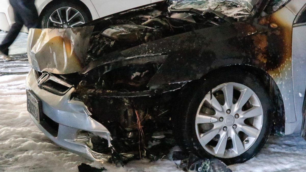
It wasn’t much time for people in Japan to get out of the way, but it served as a boost and probably saved more lives than if it had not been in place.
Just so we are all clear on what a tsunami is, let me specify. Since the U.S. didn’t want to use the word tidal wave to describe these things, scientists borrowed tsunami which comes from the Japanese word for large wave.
First off, a magnitude 7.5 or greater is required to displace enough of the seafloor to cause a wave large enough for destruction.
If the quake ruptures in the average ocean depth of 13,000 feet, the wave an travel at the acceleration of gravity, 10m/sec squared. After conversions, it calculates that these waves can accelerate to about 450mph, similar to a commercial airliner.
As a wave nears the shore and reaches shallower depths, the wave height increases and slows down to roughly 28mph, still too fast to outrun. When the wave hits land, it is called runup and refers to the total distance it reaches inland.
Usually during a violent earthquake like Japan, multiple waves slam into the shoreline. It’s a similar effect of dropping a rock into a still pond: waves ripple out form the center. However, the primary wave is usually the most destructive.
Now, since tsunami’s have been a result of several massive quakes such as Chili’s 9.5M in 1960, Alaska’s 9.2M in 1964 and the 2004 9.1M in Indonesia, scientists have frantically been building more advanced and sophisticated warning systems.
NOAA has strategically placed 39 stations in the Pacific, Atlantic, Caribbean and Gulf of Mexico which transmit data via the G.O.E.S. satellite. In the pacific, most of the buoys run directly along where the pacific plate is subducting since this is the most active area known as the “Ring of Fire.”
Buoys on the surface are connected by an acoustic line to a bottom pressure sensor base which is anchored to the seafloor. At NOAA these are called DART which stands for deep-ocean assessment reporting of tsunami.
The tsunami which killed a quarter million people in Indonesia prompted even more upgrades to the tsunami warning system by replacing tide gages, seismic stations and expanding stations from six to 39. NOAA even extended systems to the coastline of India.
They want to encourage communities in tsunami prone areas to participate in the Tsunami Ready Program. This program hopes to alert the public of evacuation routes from the coast and educate on the dangers of a tsunami impacting their community.
Here is a map I have put together outlining all DART buoy positions controlled by the U.S. around the most active places in the world. If you live near the coast, make sure to educate yourself. Without knowing you can become a hazard to everyone else.
View NOAA’s Tsunami Buoys in a larger map